It has been about 5 days since GeoJourney 2018 came to an end. Many of us are experiencing PopTart and oatmeal withdrawals, but we’ve also been able to reflect on our successful trip a bit during this lull before the fall semester kicks into high gear. I’m also realizing how much work blogging is. With the semester quickly approaching and research and emails to catch up on, I will try to do a little blogging each day to finish the recap of our trip. For now, enjoy days 8 and 9 🙂
Day 8: Sunday, 8/5 (McMillan Springs, UT→Capitol Reef NP)
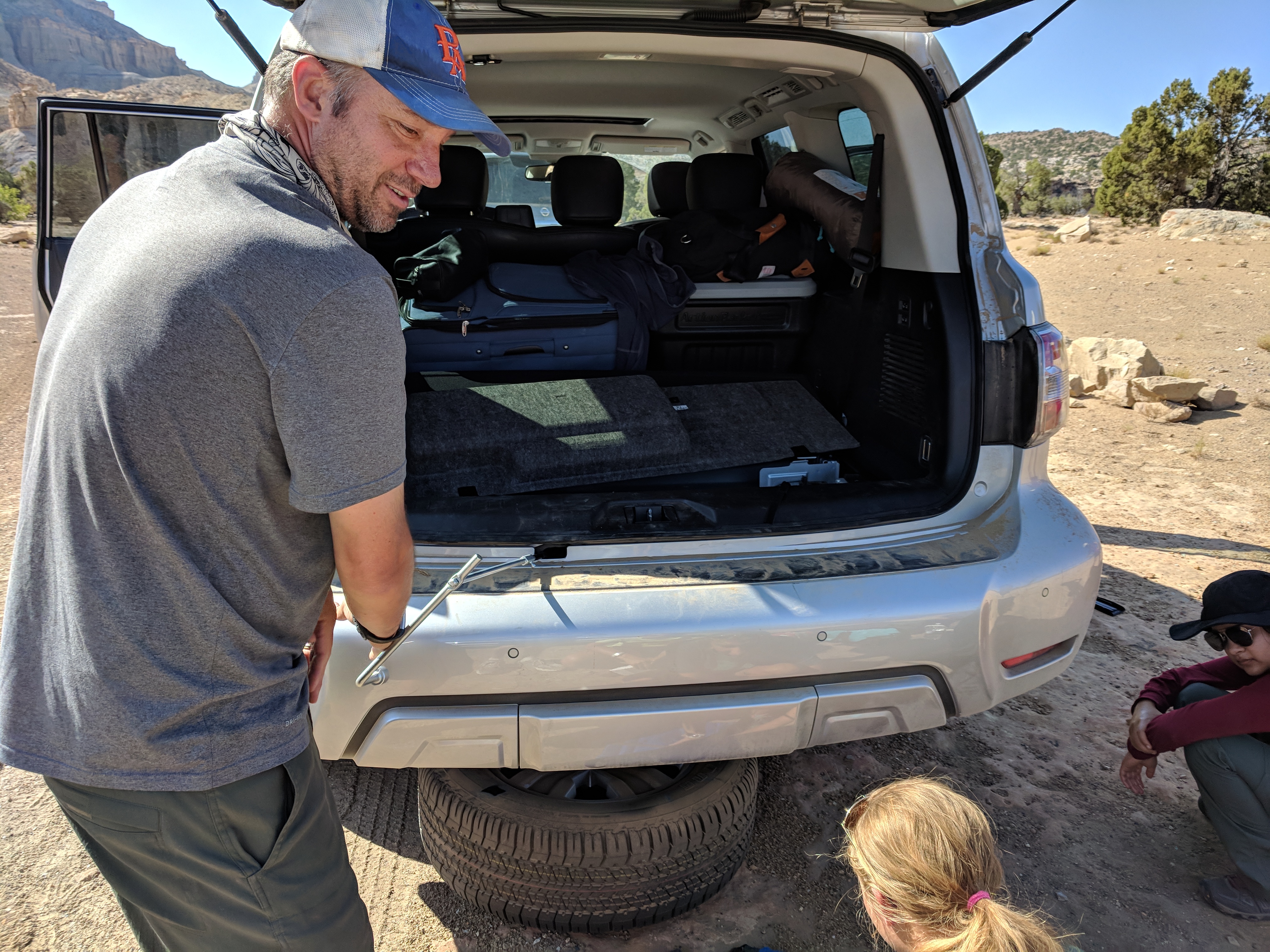
After an evening of threatening thunderstorms that we narrowly escaped but enjoyed the sounds of, we packed up camp on Saturday morning and headed down the road to Capitol Reef National Park for our 6th hike of the trip. An unfortunate consequence of driving 1,821 miles, some on unimproved dirt roads, is the likelihood of getting a flat tire. Well, it happened on our way to Capitol Reef, but it was a great learning experience for all the students who became experts in tire changing!
Karl championing the lowering of the tire while Holly supervises 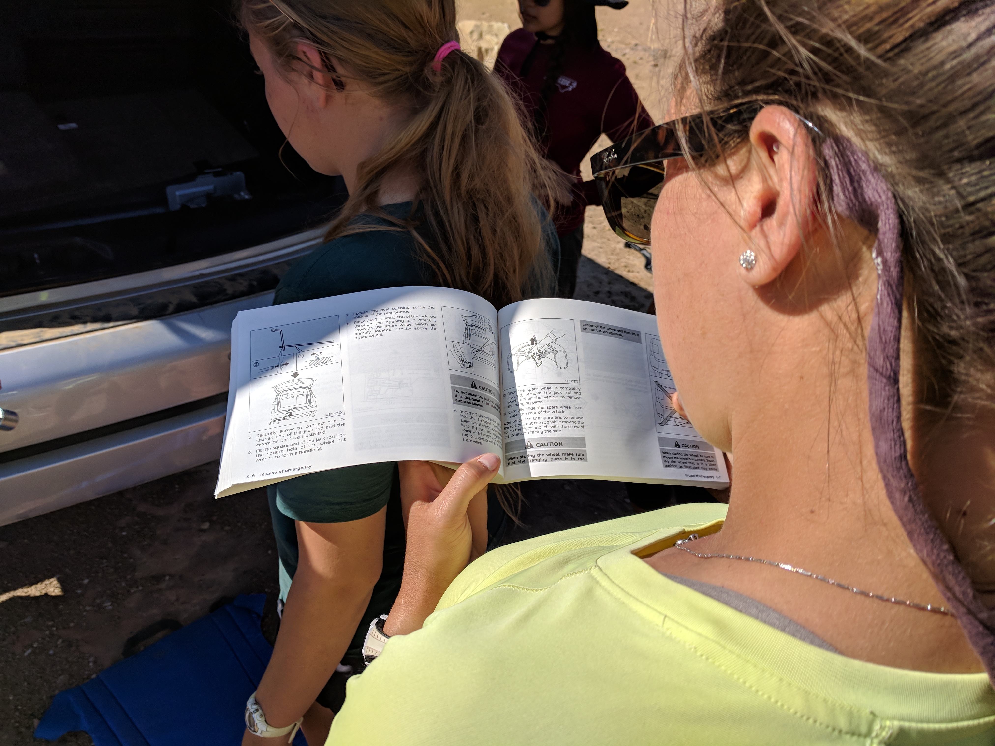
Had to read some directions about how to get the tire from underneath the car 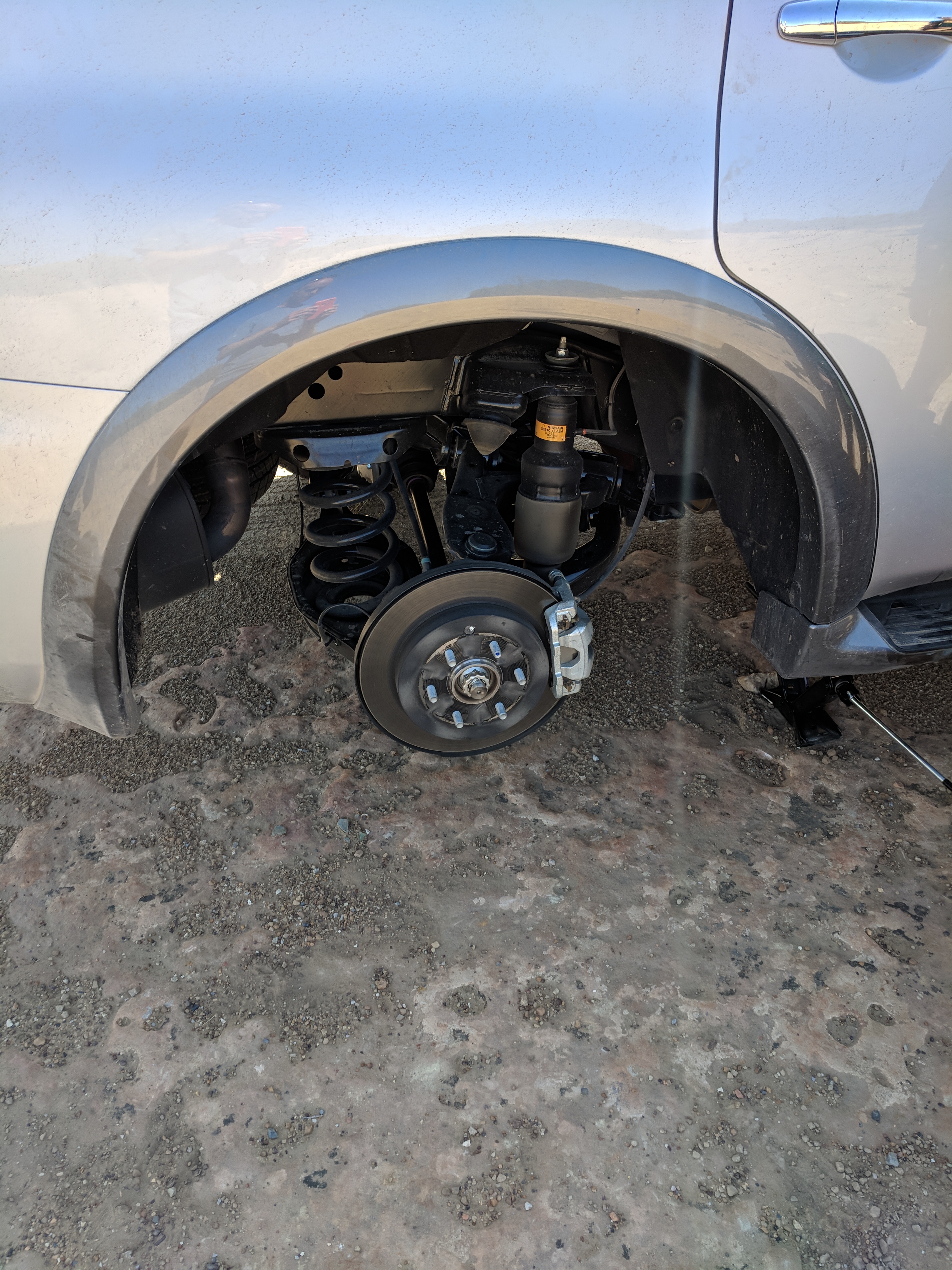
And the wheel is OFF! 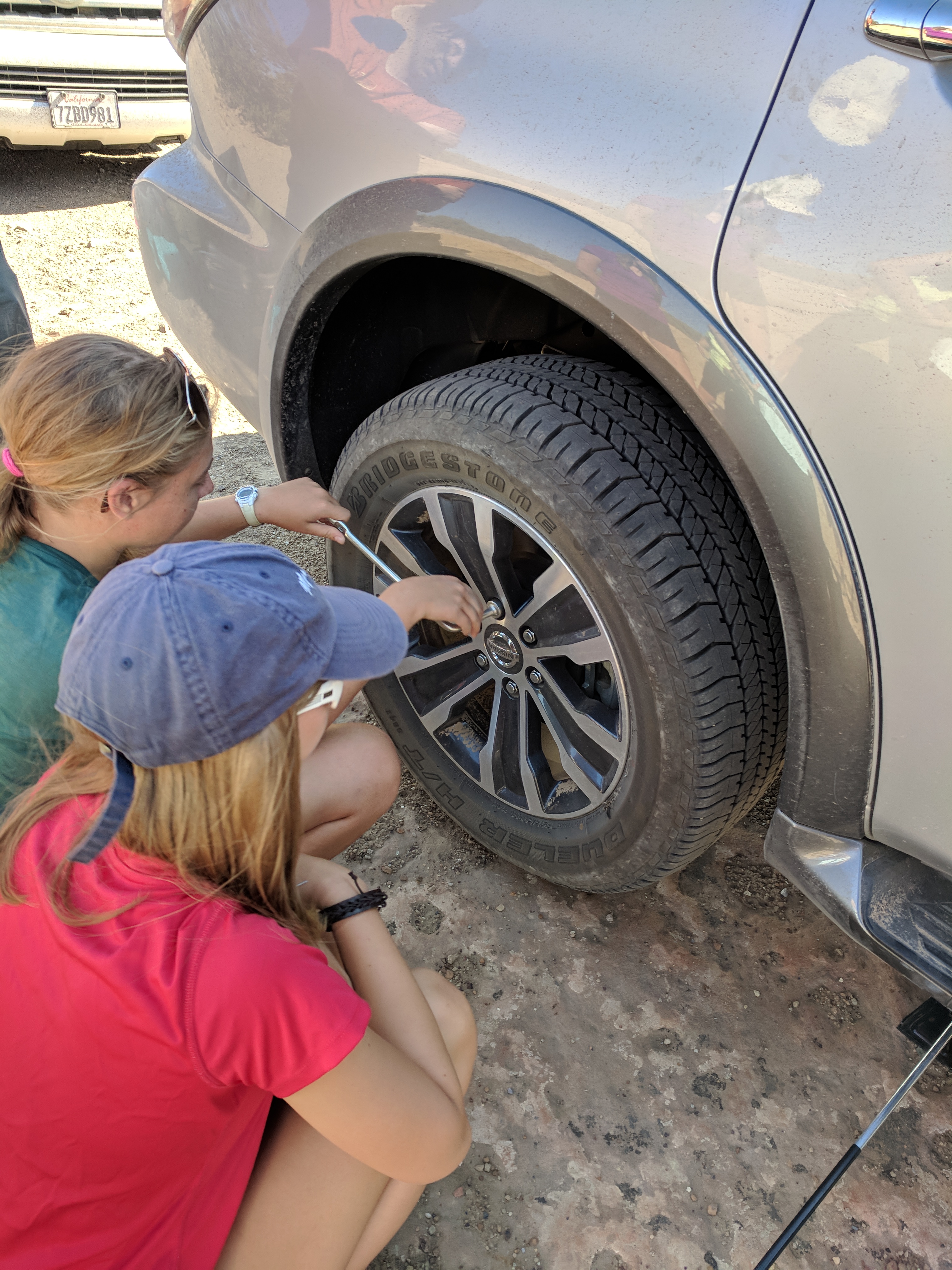
Some ladies (Erica and Holly) removing the lug nuts 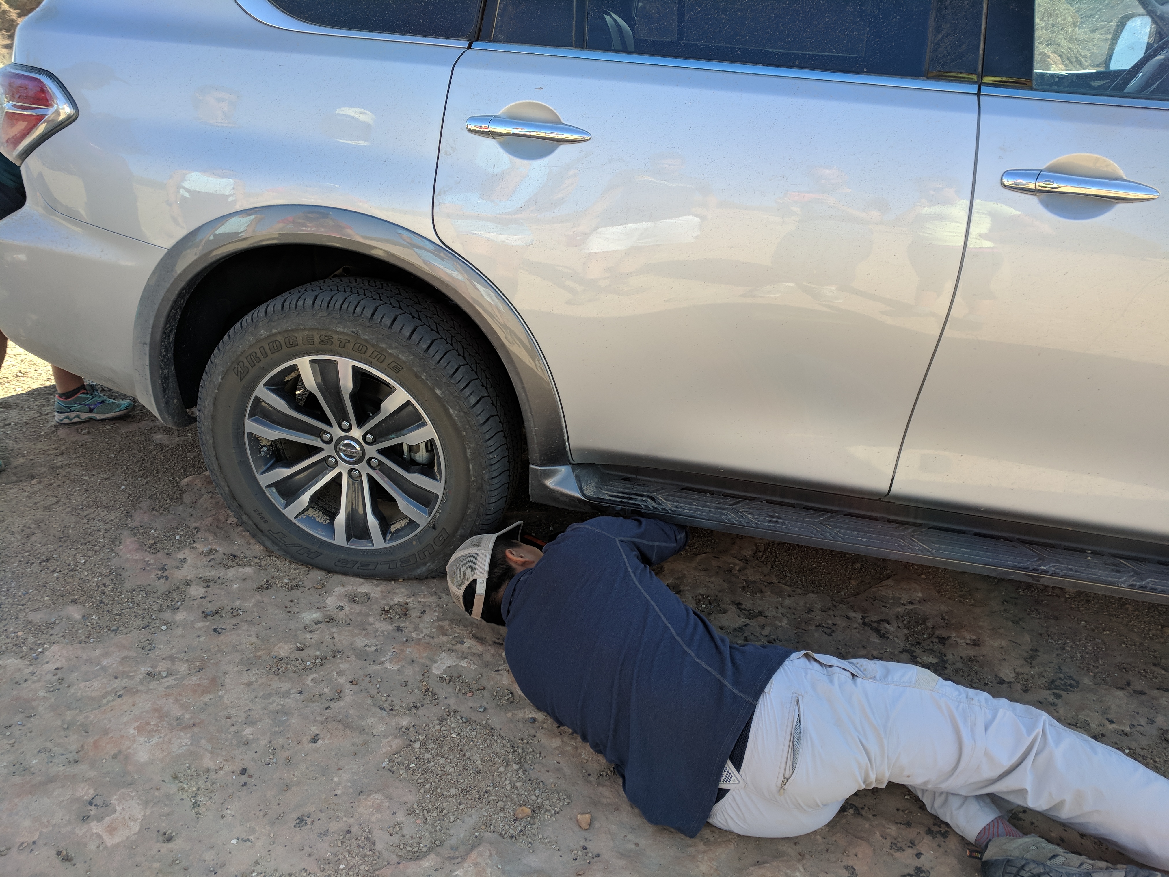
Matthew securing the jack
Finally out of the canyon! 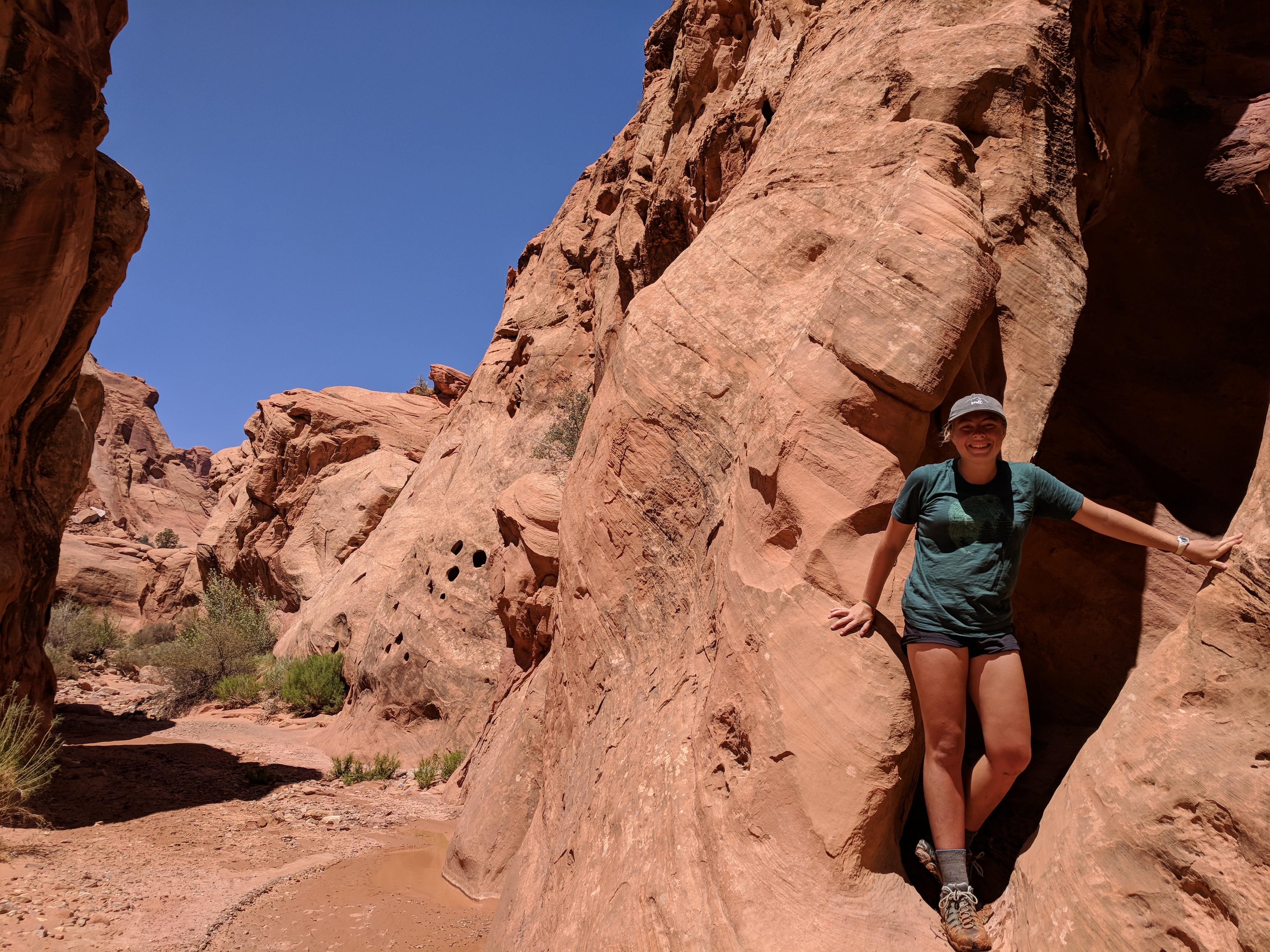
Holly posing with some rocks in the canyon
We hit up Stan’s Burger Shack in Hanksville, UT on the way to our campground at Fruita. After devouring some much-needed greasy fuel, the day ended with us setting up camp in the dark.
Day 9: Monday, 8/6 (Capitol Reef NP→Bryce Canyon NP)
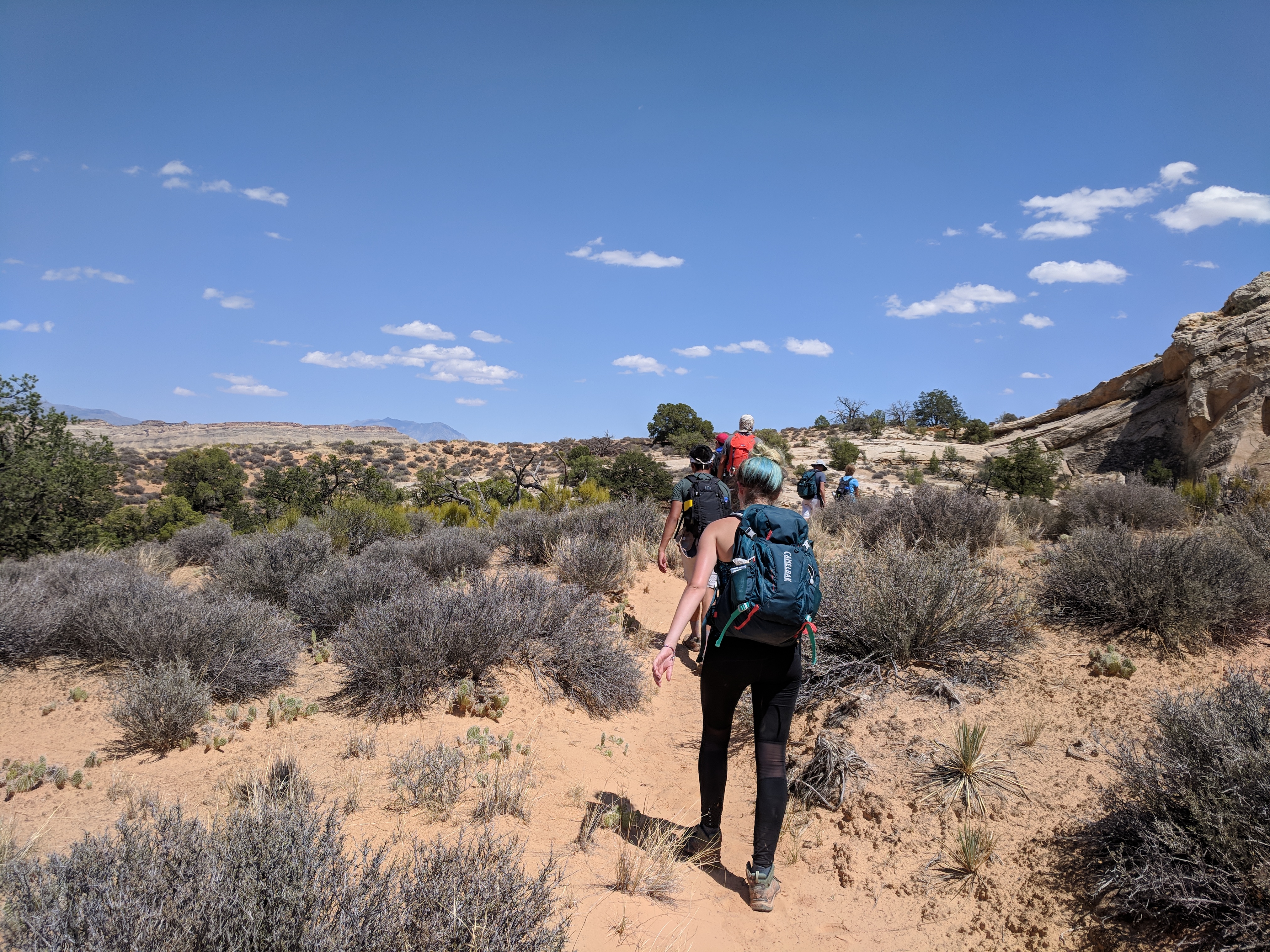
After a quick visit to the Capitol Reef NP Visitors center, we set out for Bryce Canyon National Park along the basalt-capped plateau. Of course the drive included a roadside lecture stop to admire the landscape we had been driving through and contemplate its formation methods and the implications of these events.
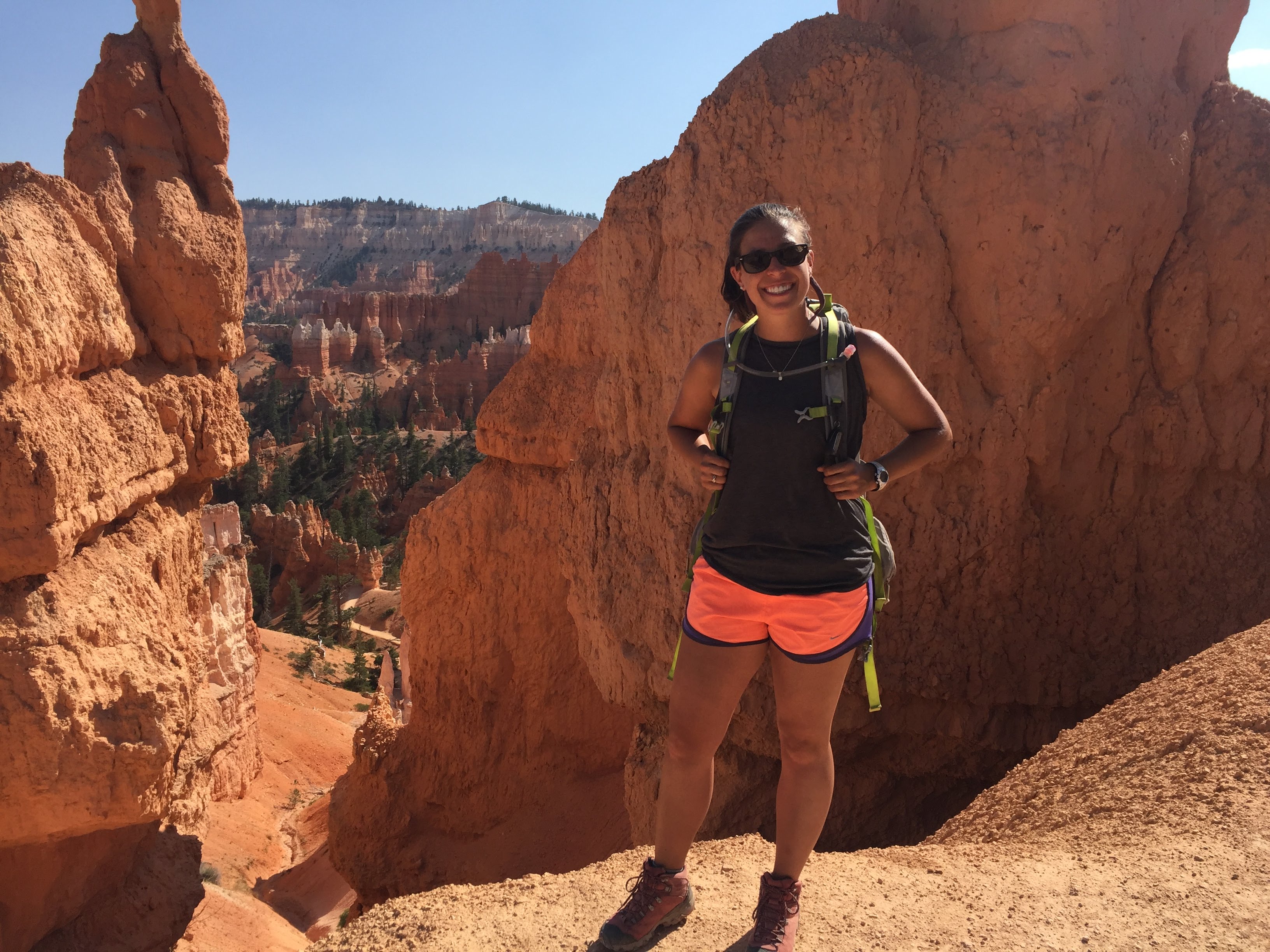
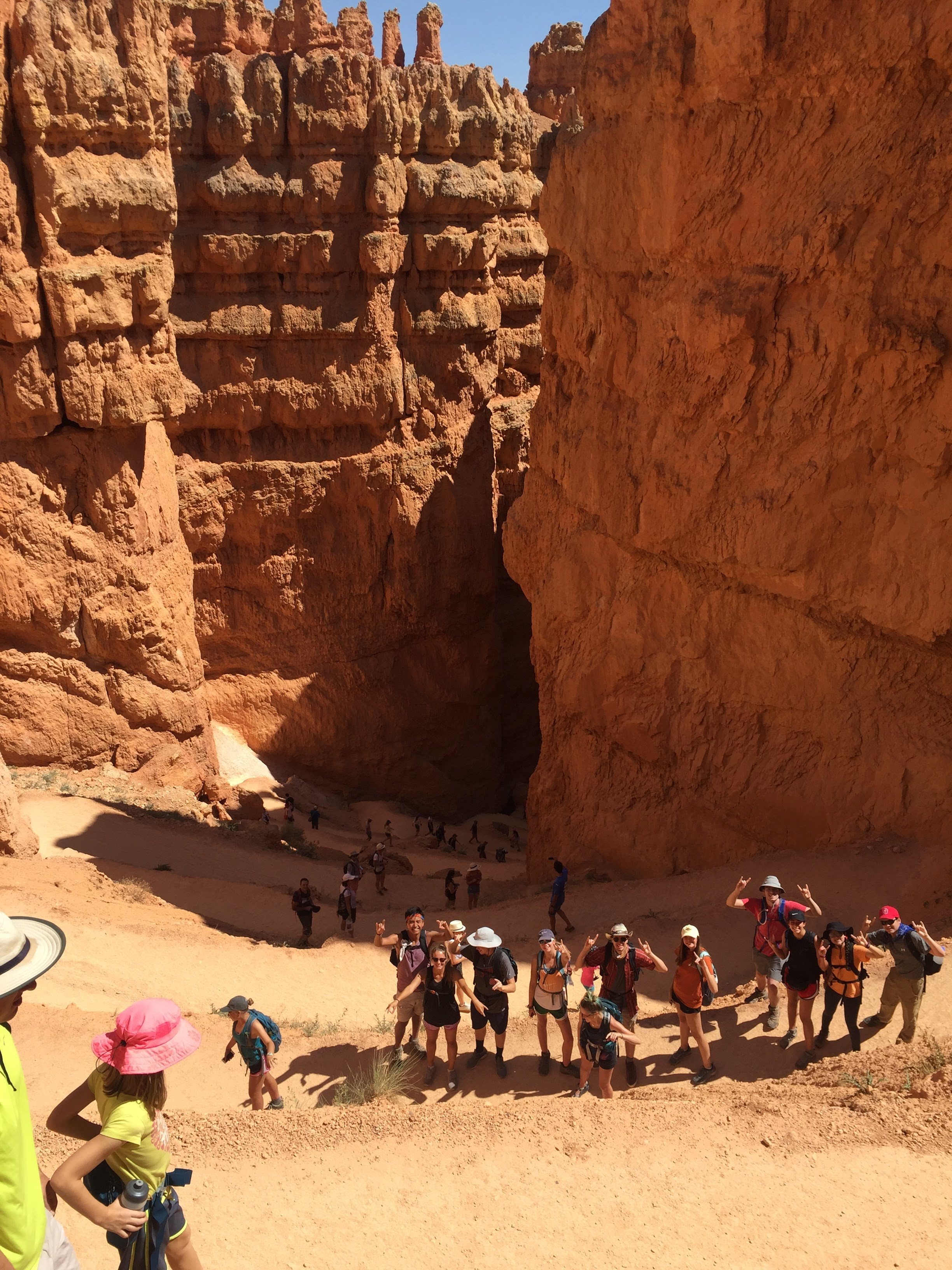
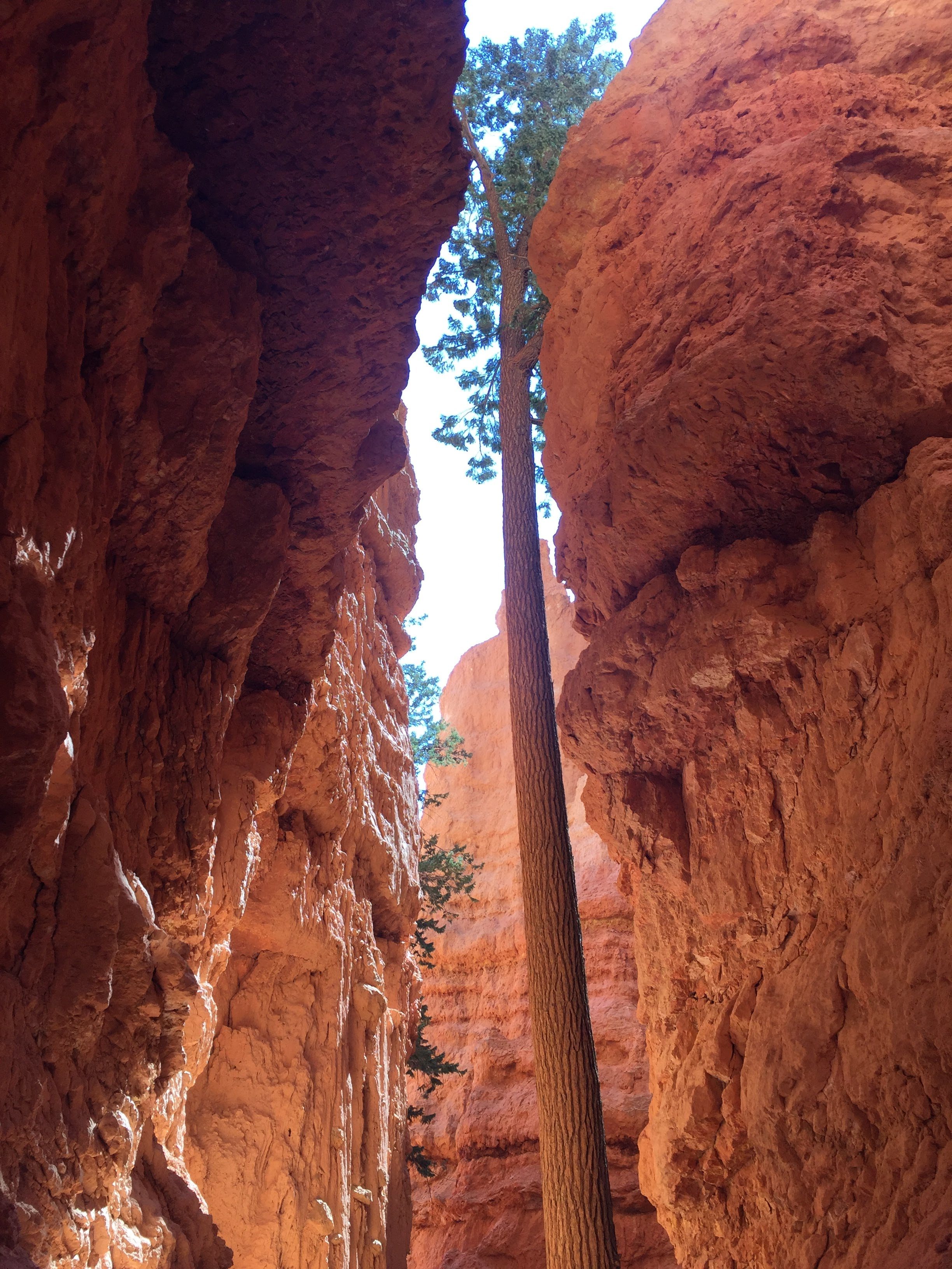
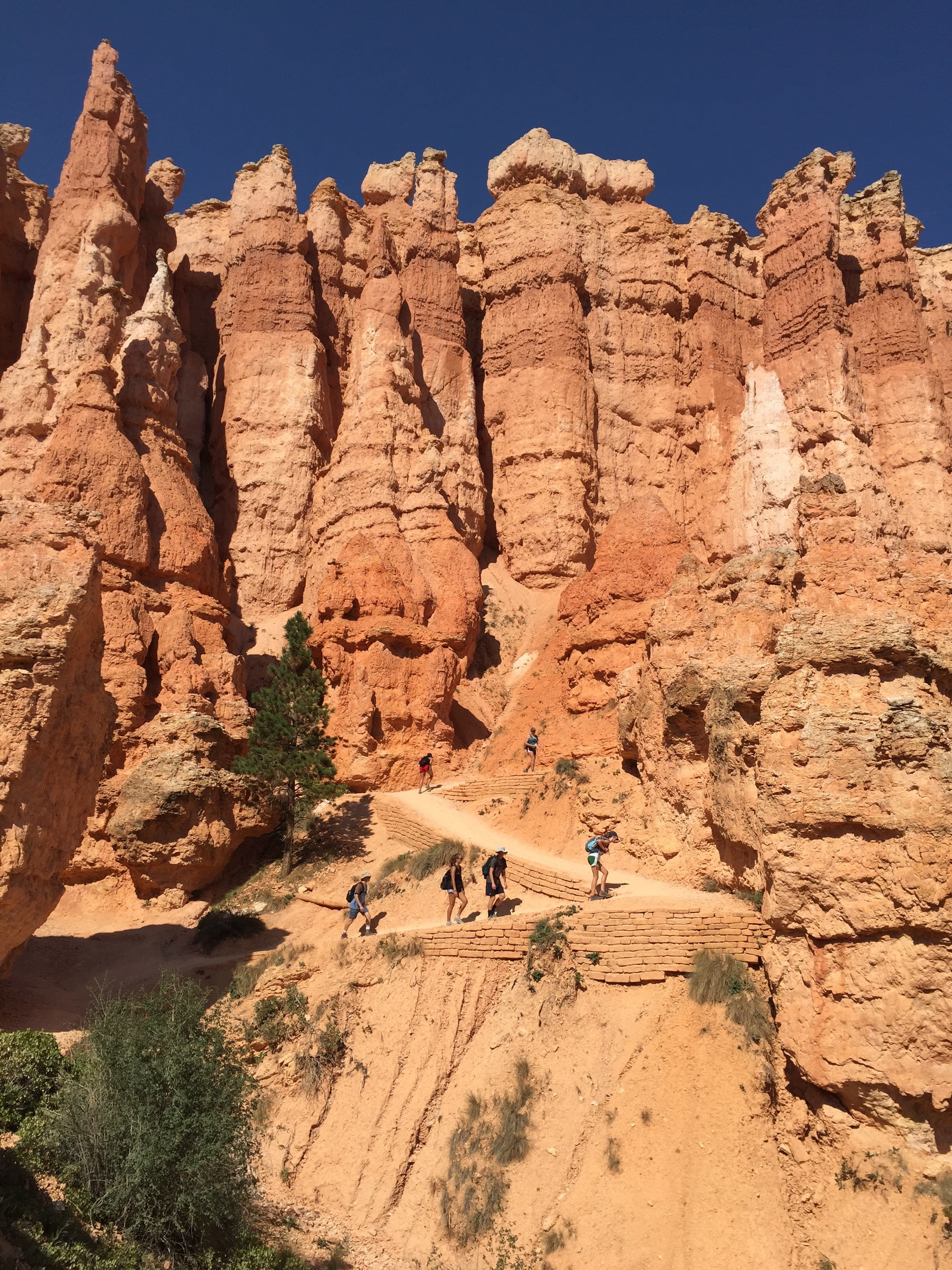
Our Bryce canyon hike involved connecting the Navajo loop to the Queens Garden Trail and finishing with a portion of the Rim Trail. Our hike gave us up-close-and-personal views of the hoodoos that form within the park. These spires form from a variety of weathering processes, but namely frost wedging. The relatively soft sandstone layer (which is what makes up the majority of the hoodoo) is capped by a layer that is more resistant to weathering. This cap layer is what protects the sediment beneath it from eroding away. The frost wedging occurs when water finds its way into cracks in the rock and freezes during the winter months, expanding and forcing the crack open further until it eventually calves off, removing some sections of the rock and leaving others (the hoodoos you see in the pictures below).
Until this point, we had traveled via caravan for the whole trip, but after our visit to Bryce, we decided to split up to divide and conquer some needed tasks. Me and Karl took our cars to resupply groceries while Chester took his car to fix the flat tire. Unfortunately, the tire shop was closed so they ended up getting to the campground with enough time to get settled before we arrived. Upon our arrival, our cars were met by excited students (from Chester’s car) claiming that the campground had showers “nicer than [their] home showers”. Finding that hard to believe, I walked into the bathroom to check it out for myself. I’m not sure if it was the fact that we hadn’t had a shower in 6 days at that point or if the showers were actually that amazing, but it may have been the best shower I’ve ever had and we all were able to get a squeaky clean nights sleep! As a bonus, I also had a great view of sunset and sunrise from my tent.
Sunset 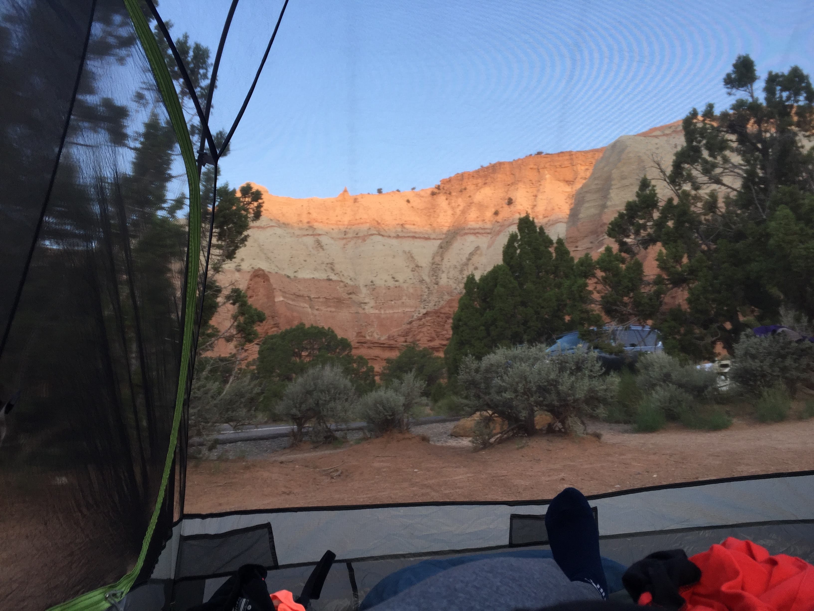
Sunrise