This past weekend I joined my watershed hydrology class on an educational camping trip to Coweeta Hydrologic Laboratory in western North Carolina.
In the 1930’s, the National Forest Service purchased this ~4,000 acre watershed just north of the NC-GA border, designated as part of the Nantahala National Forest. It is the site of many fundamental and ongoing research studies within a forested watershed, spanning the disciplines of hydrology, ecology and climate change.
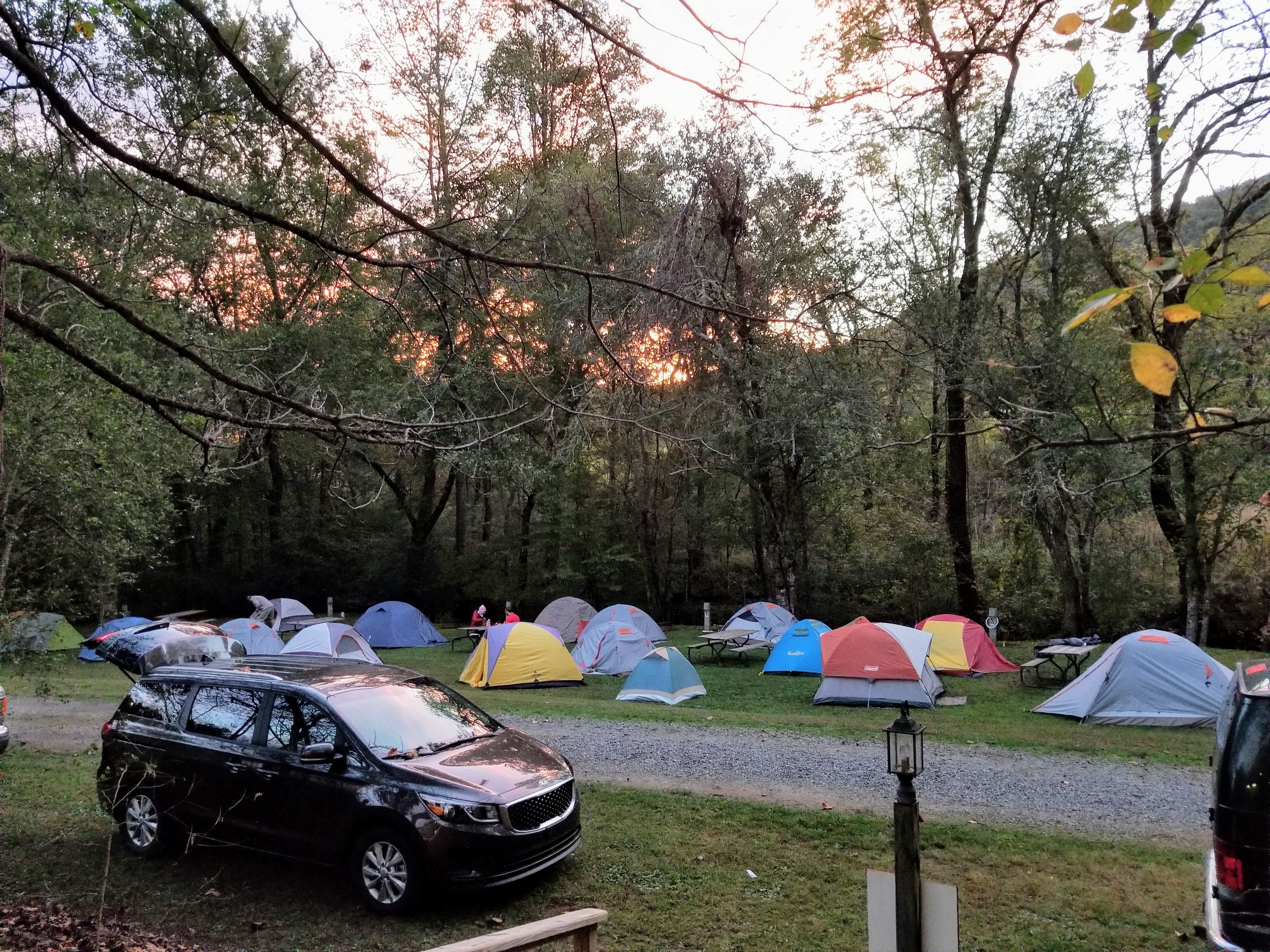
We were wheels up on Friday afternoon, had dinner on the road somewhere near Black Mountain, and set up camp for two nights in Franklin, NC.
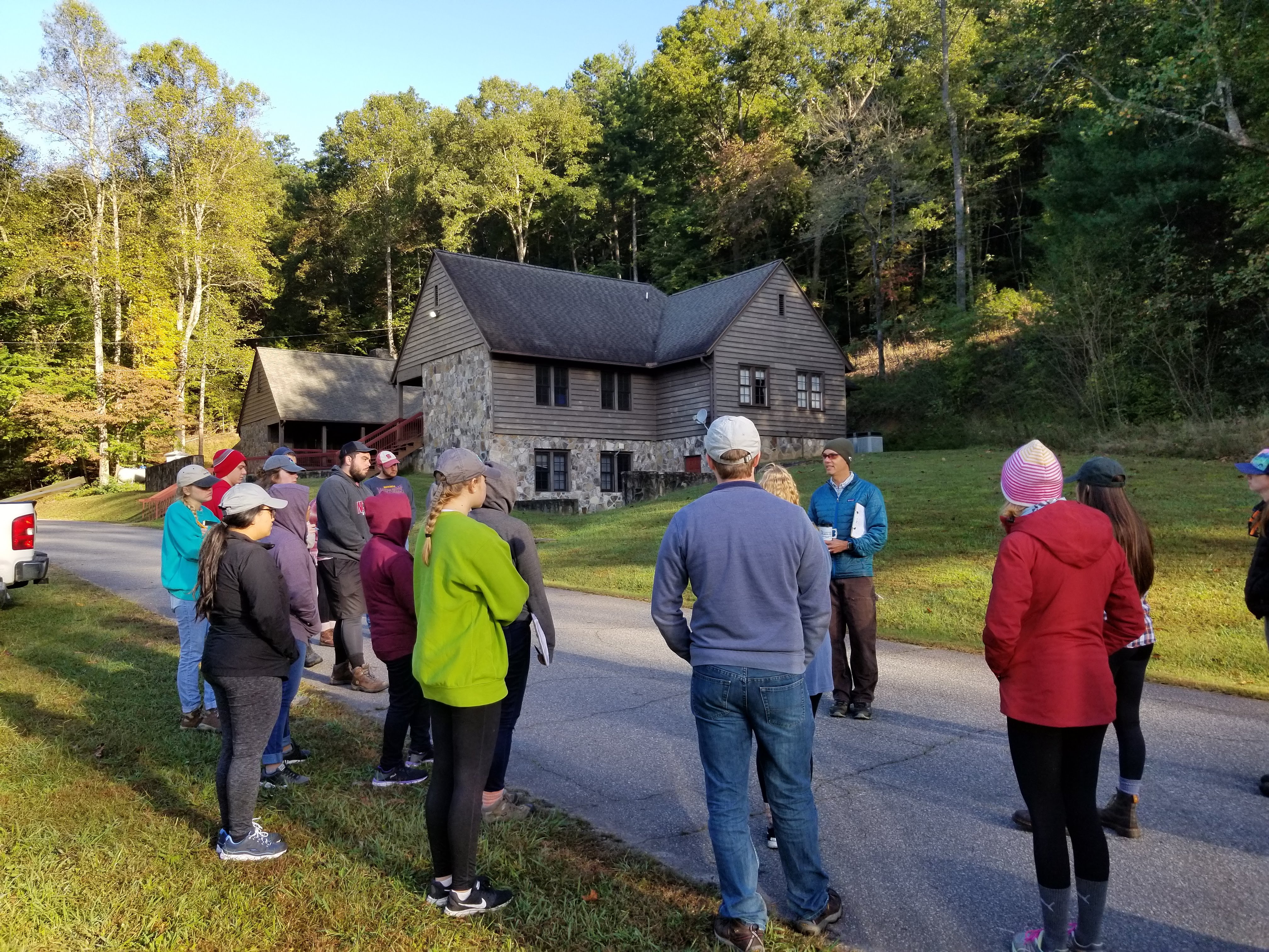
Saturday morning began with a brief lecture from Dr. Ryan Emanuel, the instructor of the course and also one of my PhD committee members, about the history behind the experimental forest and the types of research that are currently being conducted. While the land was the location of the Cherokee Indian Nation initially, white settlers began farming on the land in 1848 until it was purchased by lumber companies and subsequently logged until about 1918 when it was purchased by the Forest Service. It is now co-managed by the Forest Service and the University of Georgia.
We visited the original climate station from the 1930’s that has been collecting data continuously for over 80 years. With several instruments measuring temperature, rainfall, humidity, wind speed and direction, transpiration and solar radiation, scientists have reliable data to use for research across multiple disciplines. As new technology becomes available, it is implemented, overlapping with some of the older techniques for consistency and reliability. Some of the instruments are pictured below.
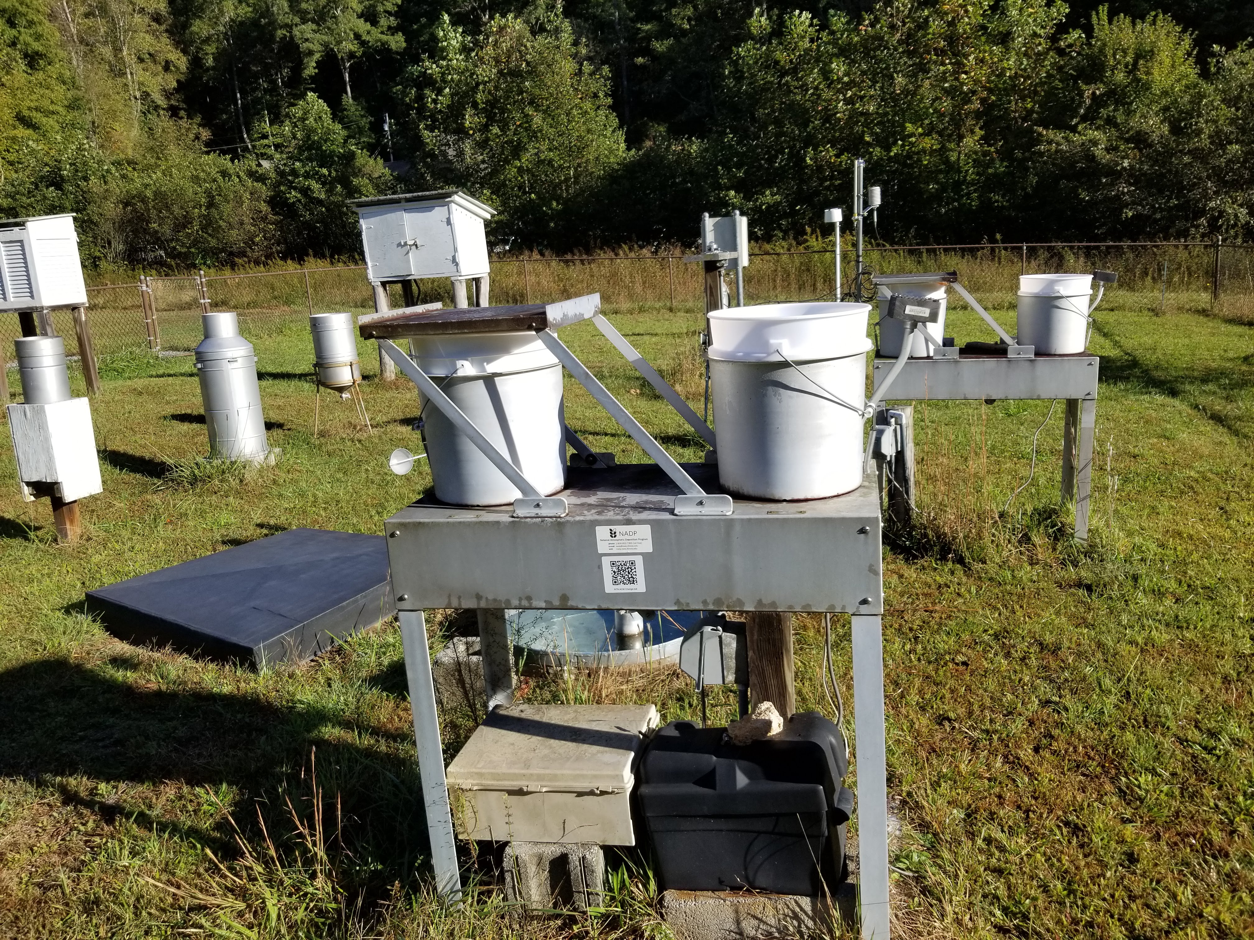
CS1: device for measuring acid rain, an electric sensor to the right senses rainfall and moves the metal covering with a motor to collect rainfall in the currently covered bucket and measure its acidity. It stays covered to prevent evaporation artificially concentrating the acidity (National Deposition Program) 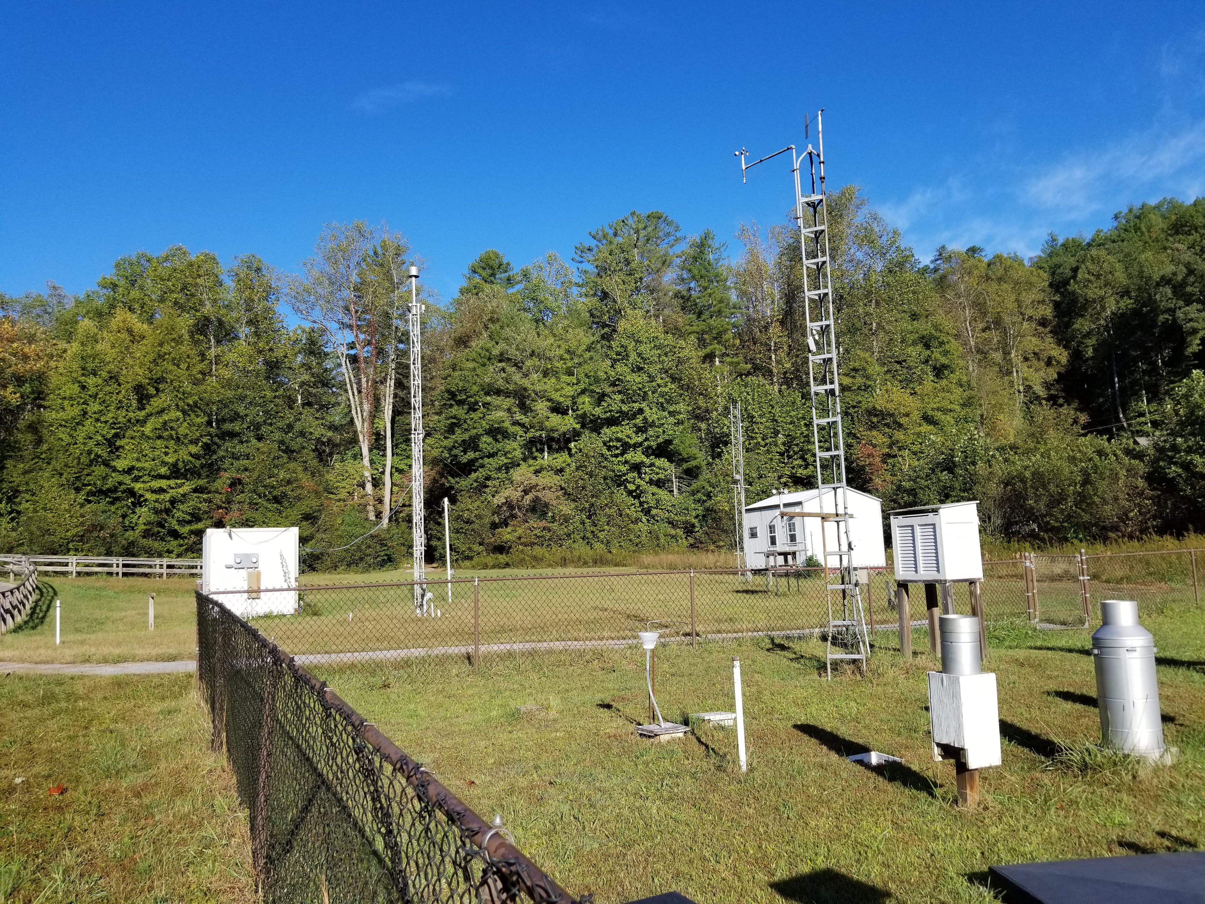
CS1: multiple weather instruments collecting measurements 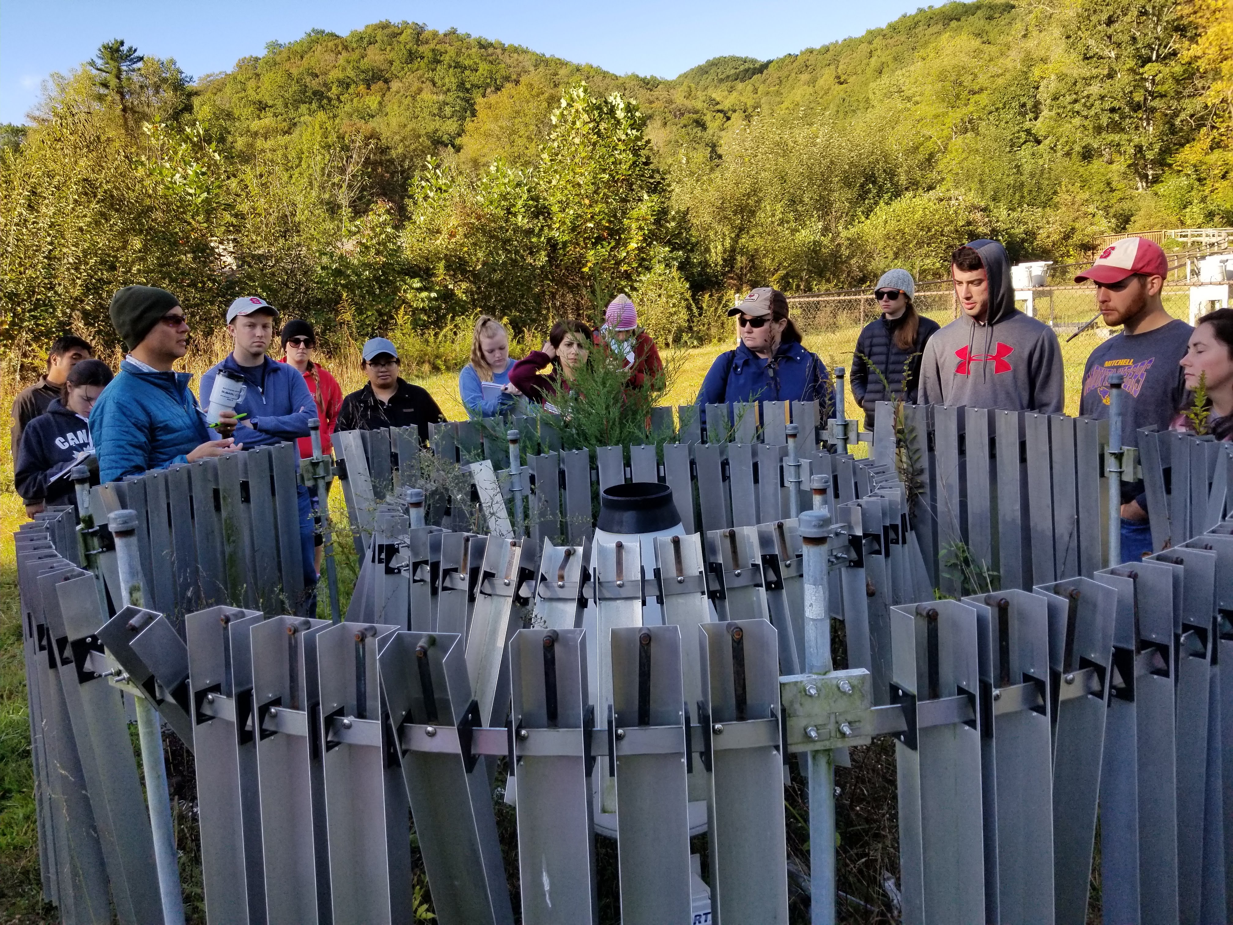
CS1: A rain gauge with baffles (the metal pieces) that minimize wind influences on rainwater collection. Generally a tipping bucket or weighing rain gauge is in the center to collect rainwater. 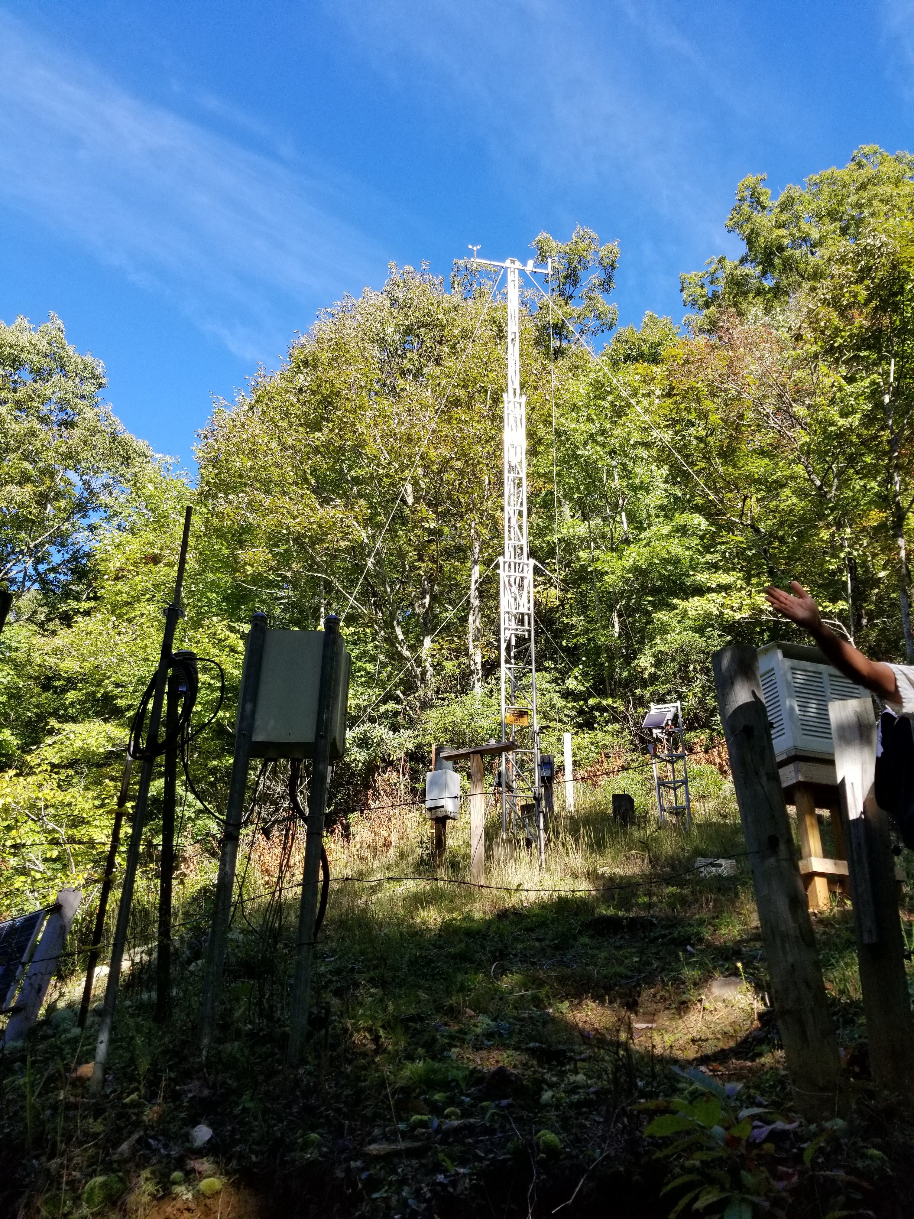
CS21: Another long-term climate station between watersheds 1 and 2
Watershed 1 is an experimental watershed that was completely burned, logged, then burned again to eliminate the previous flora that occupied the area, and it was replanted entirely with white pines. Many studies are conducted in this controlled watershed, and it is often compared to watershed 2, which contains mainly deciduous trees. The differences in leaf cover (pine needles are long, skinny, and aren’t shed as frequently, the broad leaves of the deciduous trees are shed every winter and are much larger) affect the transpiration water in the watersheds, along with impacting other hydrologic and climatic factors.
We spent our day traversing the watersheds, visiting some of Dr. Emanuel’s research sites and observing how data is collected from various instruments (and how dealing with technology in the field can be challenging).
We ended our day with a short hike to a fire lookout tower where we could see most of the Coweeta watershed. It was a perfect day for a hike and for viewing!
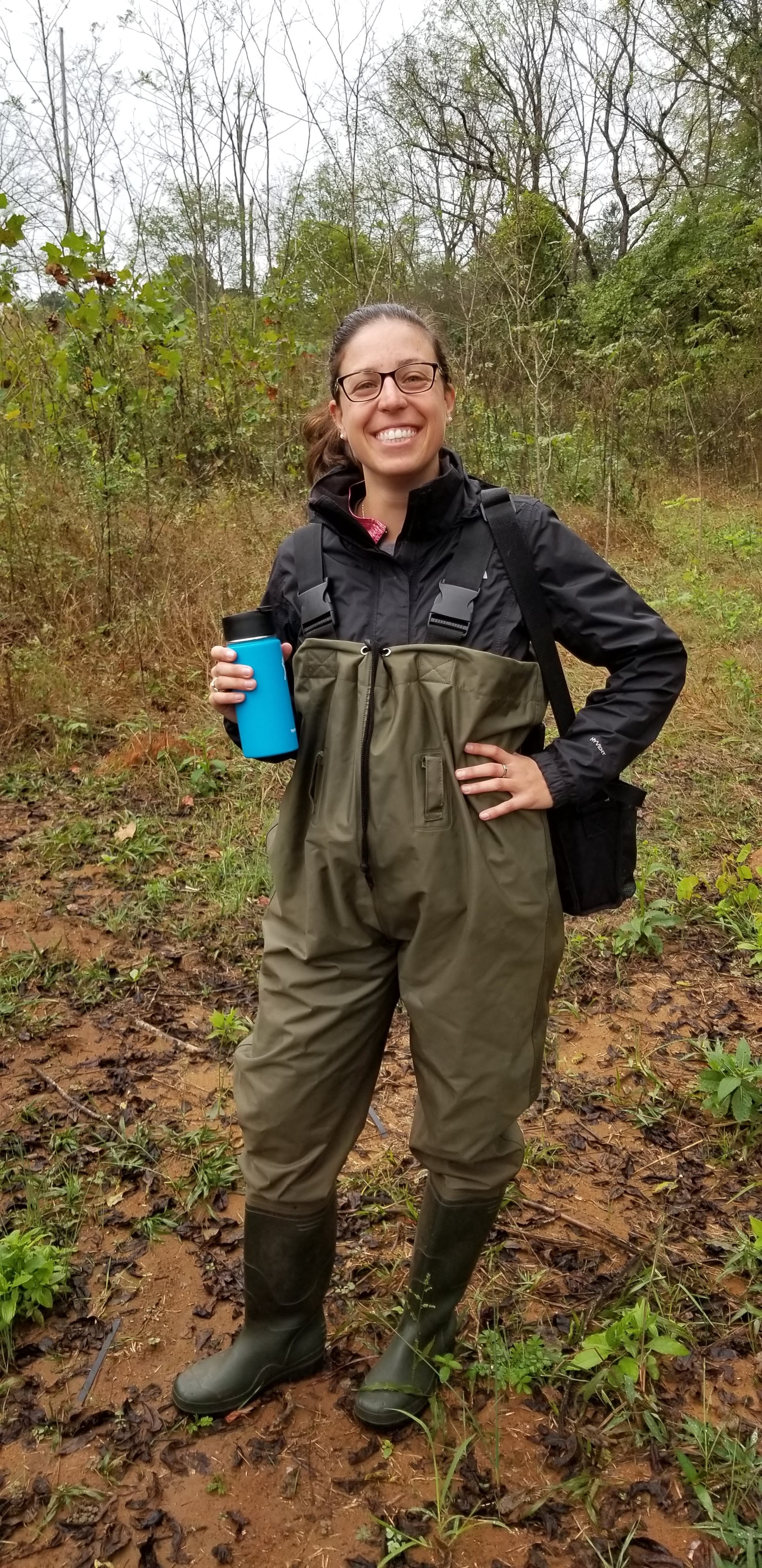
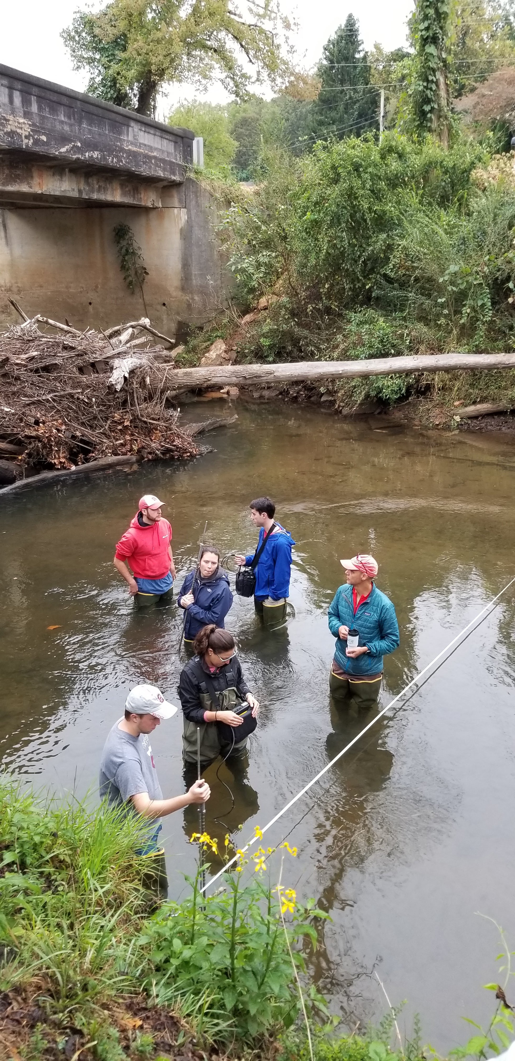
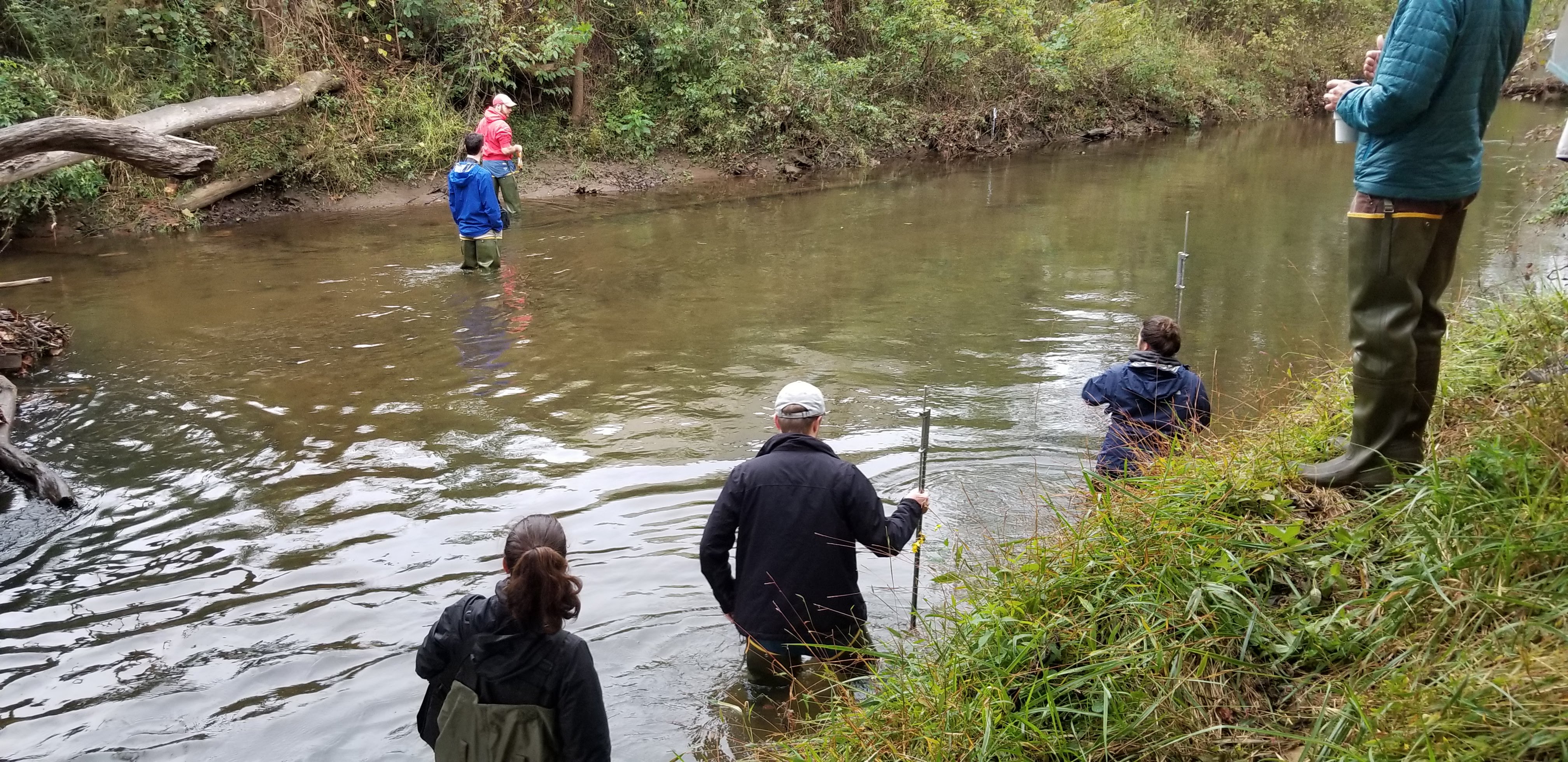
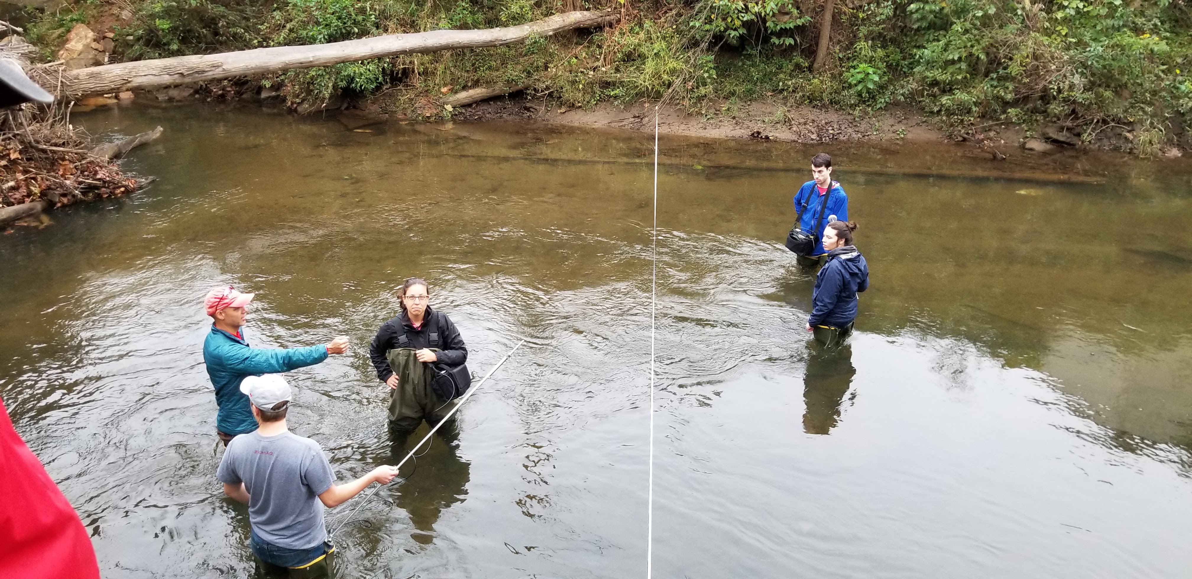
On Sunday, we collected some stream measurements (width, depth and water velocity) using a tape measure and a top-setting wading rod in order to calculate the discharge of the Cartoogechaye Creek (USGS stream gauge 03500240) that flows into Fontana Lake. It was my first time using a velocity meter to measure stream flow, so of course I quickly volunteered to put on some waders and get into the stream! It was chilly, but worth it.
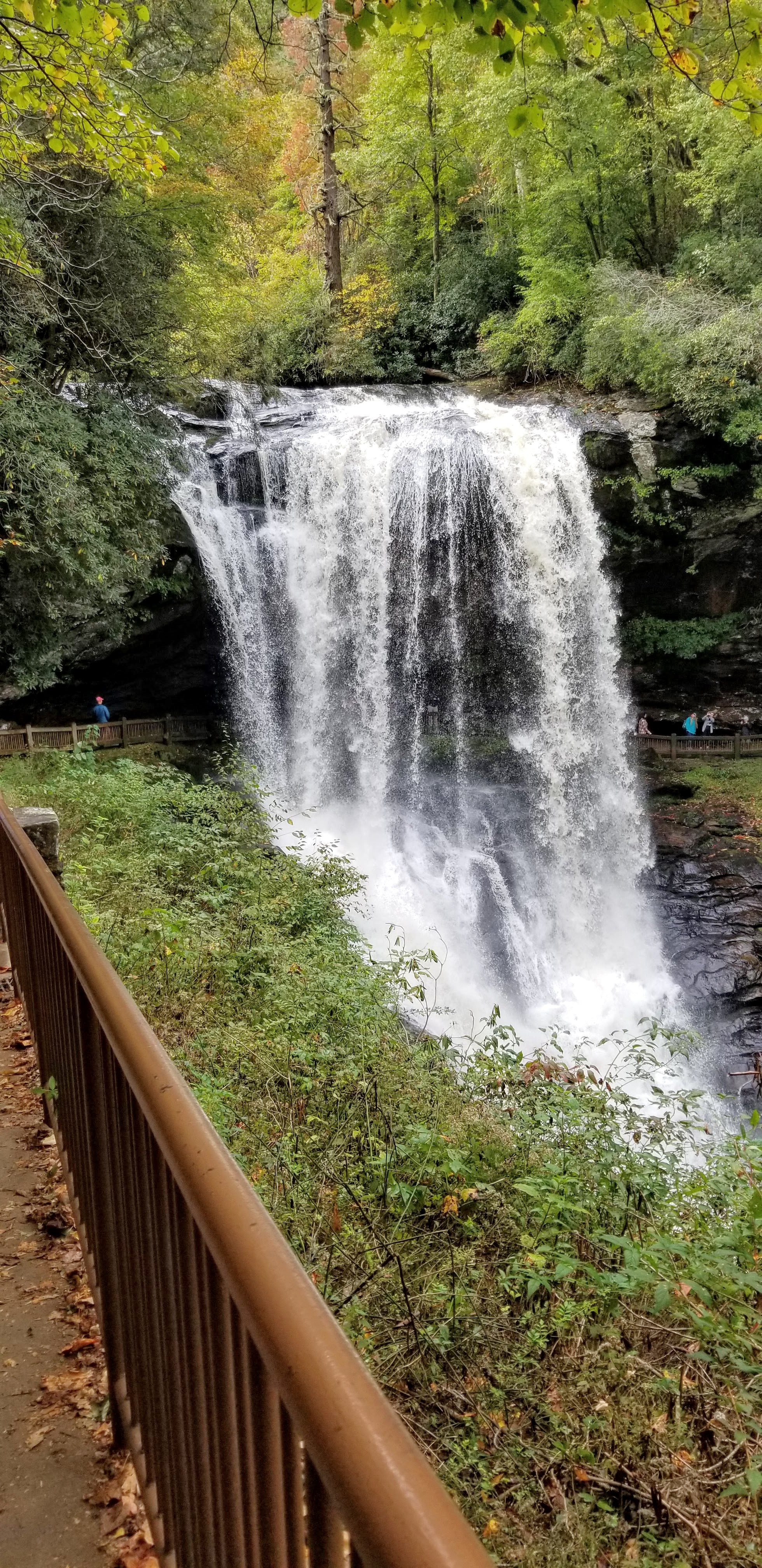
Our trip ended with a stop at Dry Falls on the upper Cullasaja river, a 65-foot waterfall that get’s its name from the “dry” pathway behind the falls.