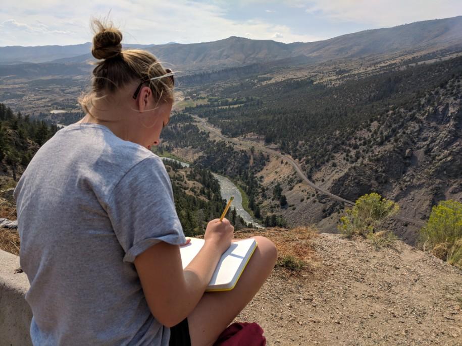
Well, it has definitely proven to be extremely challenging to blog during this journey. I had grand plans of posting every few days but with our lack of internet access and cell service (except for sporadically while driving for short periods of time), I have either been unable or too exhausted to write or post much. I will therefore be posting recaps of our days after the fact, starting where I left off with day 3.
Day 3: Tuesday, 7/31 (Rocky Mountain National Park, CO→Eagle, CO)
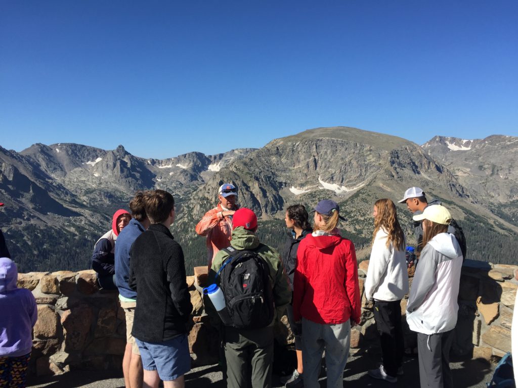
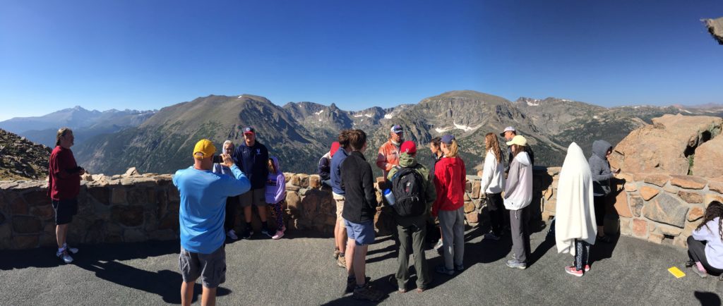
We began our journey as close to the headwaters of the Colorado River as we could reasonably get in Rocky Mountain National Park. Our first stop en route was at the Forest Canyon Overlook for a 360º view of the park. It was a bit windy, but we were treated with spectacular views and a lecture from Dr. Wegmann.
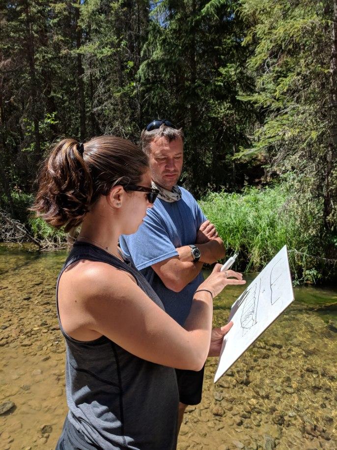
Our next stop was our lunching area where students finally got up close and personal with the river and estimate stream discharge by taking measurements of the water velocity and area of the channel in which they were collecting their data.
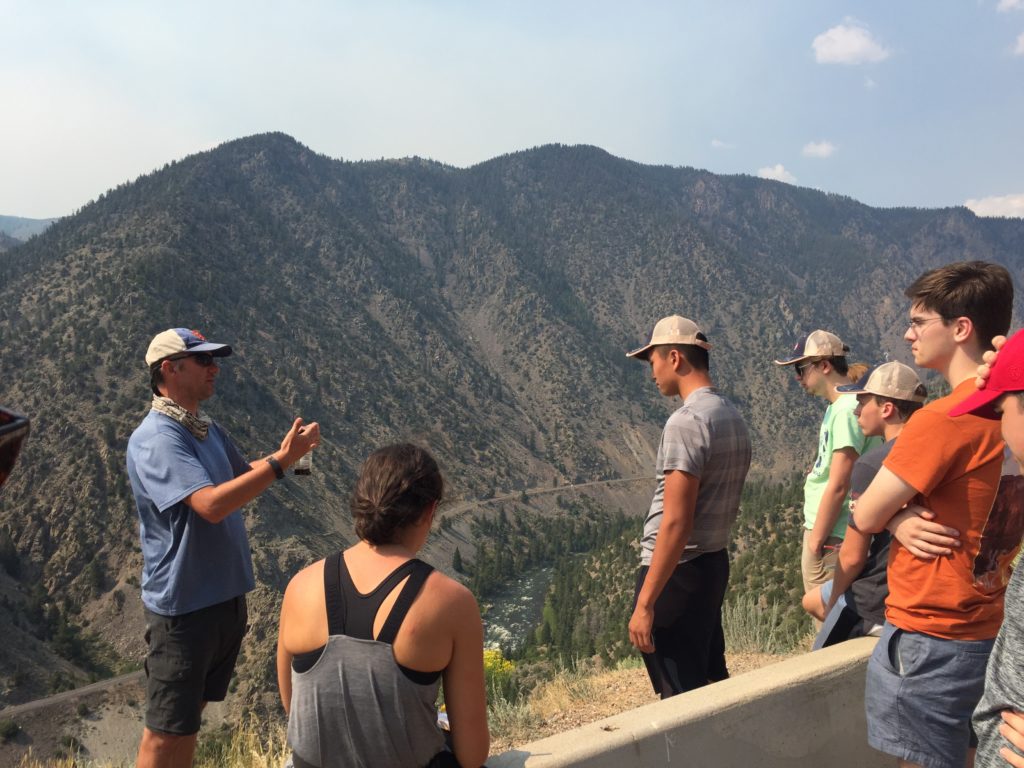
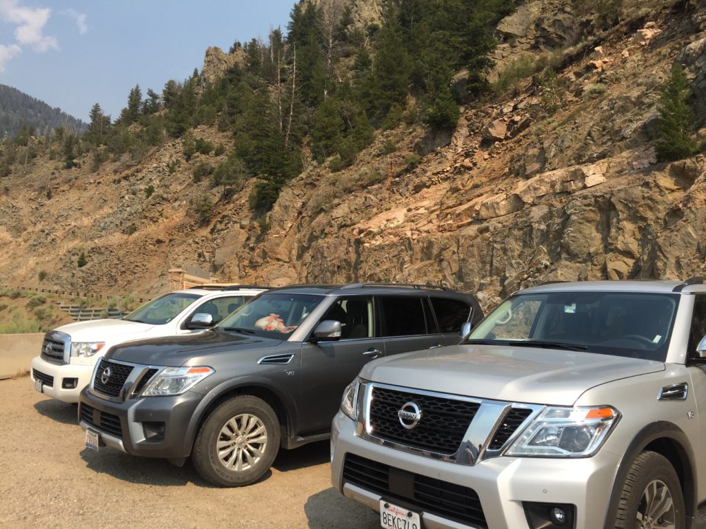
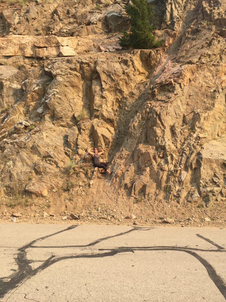
En route to Eagle River Lodge, we stopped at an overlook along Gore Canyon to discuss its formation and the geologic feature (a fault) hiding in the canyon wall. It was also a great opportunity to photograph our vehicle fleet.
Day 4: Wednesday, 8/1 (Eagle, CO→Grand Mesa, CO)
After a great nights sleep in the last real beds (and showers) we would see for a while at the Eagle River Lodge, we headed to Dorsero Crater where students developed hypotheses for how the crater formed and the sequence of events that led to its formation. Students collected volcanic rocks and hiked around the talus slopes until we hit the road again to our lunch spot along I-70 where we had an out-of-the-back-of-the-car lunch at a picnic area.
Next, we were on to Grand Mesa, the worlds largest flat-topped mountain that spans more than 500 square miles. This elevated, relatively flat terrain was created by basaltic lava flows about 10 million years ago. It is more resistant to weathering than the sandstone it overlies so it creates large, vast plateaus when the Colorado and Gunnison rivers dissect the landscape surrounding it. 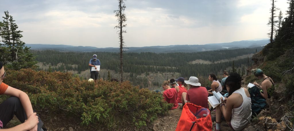 Karl lecturing about landscape evolution.
We ended our evening at Island Lake Campground where we set up camp and made delicious fajitas for our first camp-made dinner. The pit toilets were a first experience for many, but we all made it out alive!
Day 5: Thursday, 8/8 (Grand Mesa, CO→Moab, UT)
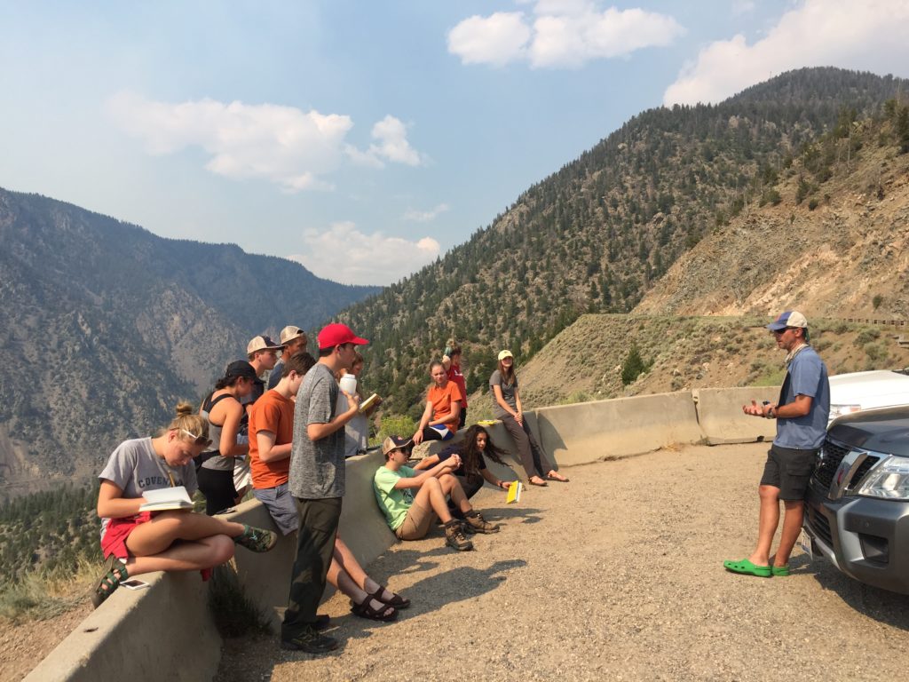
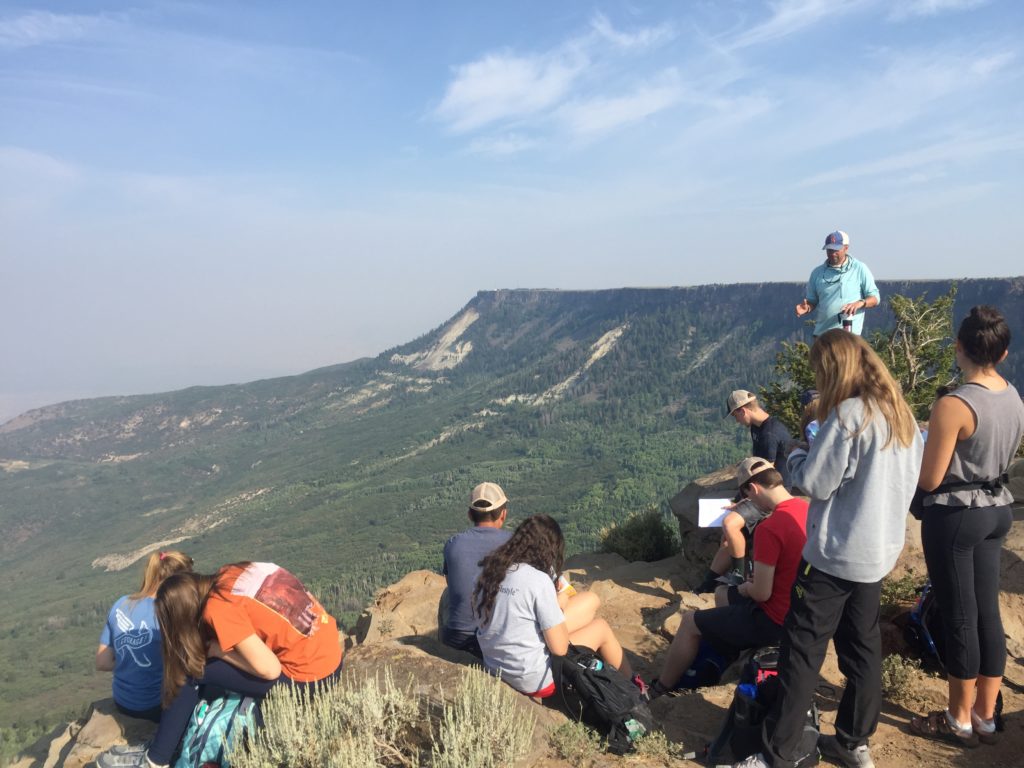
Thursday began with a visit to Lands End Observatory and a lecture about landslides and the evolution of this landscape (students taking field notes pictured below). Karl also set students up with a narrative about what they would see along our drive later that day.
A should-have-been-quicker stop at the Unaweep Canyon Divide sparked discussion about how and why we could be standing dry diver valley with a drainage divide in the center of it and rivers flowing opposite directions (spoiler: topographic uplift!).
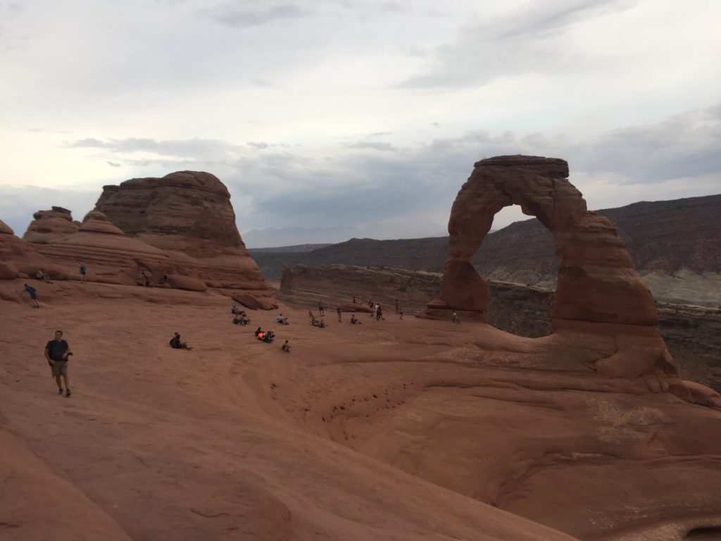
Our long drive eventually brought us to Moab where we had a few hours of free time for students to explore and for us to restock some groceries before heading to dinner at Milts, a Moab favorite. This fueled us for our evening hike to Delicate Arch in Arches National Park.
 We arrived at our campground late that evening, but the students were pleasantly surprised that they didn’t have to set up tents since we had rented Yurts! Given the darkness and late hour, we wouldn’t be able to fully appreciate their beauty until the morning…
